
Berichten van Marios Chaidousis

Over Marios Chaidousis

Civil 3D Pipe Networks: Water Design Workflow
-
Door Marios Chaidousis
A practical workflow for modelling gravity drainage and pressurized water systems in Civil 3D. Learn how to choose the right network type, coordinate utilities with roads and rail, and produce clear plan and profile documentation.
ReCap Civil 3D Point Cloud Workflow for Terrain Models
-
Door Marios Chaidousis
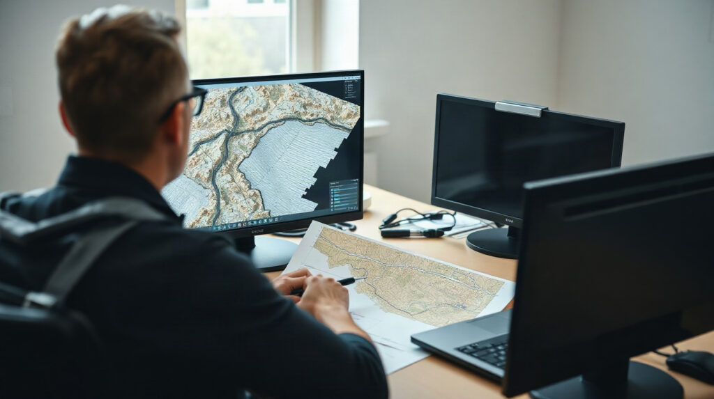
Connect reality-capture survey data with a reliable Civil 3D terrain model. This practical workflow covers scan preparation, surface creation, validation and infrastructure design use cases.

Civil 3D Survey Workflow: Points to a Clean DWG
-
Door Marios Chaidousis
A reliable Civil 3D survey workflow protects coordinate accuracy from field data import to final DWG. This guide explains how to build surfaces, add breaklines, prepare sheets and check the deliverable.
How to Create Fabrication-Ready Ductwork in CAMduct
-
Door Marios Chaidousis
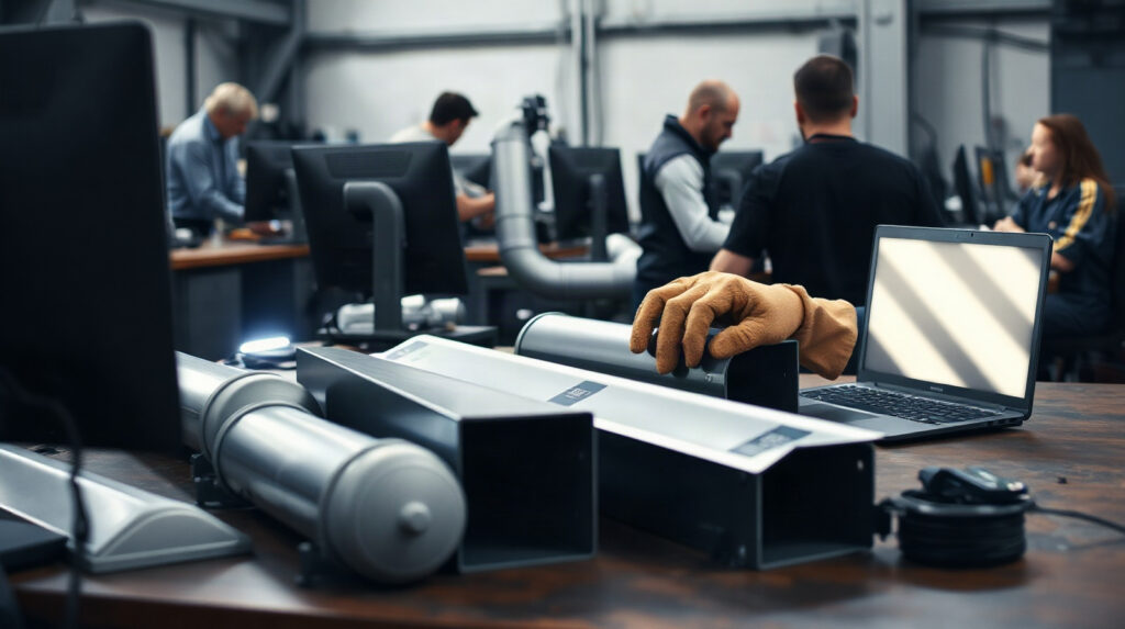
A fabrication-ready duct model is more than a coordinated 3D layout. This workflow explains how to move controlled MEP information into CAMduct, validate it and prepare practical cutting and manufacturing outputs.

Civil 3D Licensing for Surveying Teams: What to Check
-
Door Marios Chaidousis
The right Civil 3D licence depends on what each person does with survey data, not only on the headline subscription cost. This checklist helps surveying companies compare Civil 3D, AutoCAD, and AutoCAD LT for field, CAD, and management roles.

Best BIM Software for MEP Engineers: An Autodesk Guide
-
Door Marios Chaidousis
The best BIM software for MEP engineers depends on whether you are developing coordinated building-services models, producing 2D documentation or preparing fabrication information. This practical guide maps common HVAC, plumbing and electrical tasks to Revit, AutoCAD, CADmep and the AEC Collection.
InfraWorks for Preliminary Infrastructure Design and Tenders
-
Door Marios Chaidousis
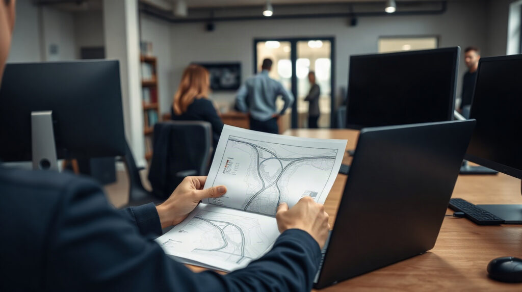
Autodesk InfraWorks helps infrastructure teams compare early road, rail, bridge and land development options in a location-based visual model. This guide explains where it fits before detailed Civil 3D design, how to use it for stakeholder communication and what it cannot replace.

Autodesk Point Layout for Survey Stake-Out: Is It a Fit?
-
Door Marios Chaidousis
Autodesk Point Layout can help construction teams move from coordinated model information to controlled field positioning. This guide explains where it fits for land surveyors and geodesists, and where Civil 3D or other tools are still needed.

Civil 3D for Rail Alignment and Corridor Design
-
Door Marios Chaidousis
Civil 3D can support important parts of a rail design workflow, from terrain modelling and horizontal geometry to profiles, corridors, earthworks and documentation. This guide explains how to use it effectively while keeping preliminary route studies separate from detailed design.

Best Surveying Software for Topographic Work in 2026
-
Door Marios Chaidousis
The best surveying software for topographic surveys depends on the data you collect and the deliverables you must issue. This practical guide maps common survey workflows to Civil 3D, ReCap Pro and AutoCAD.